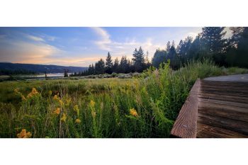
This asphalt path meanders along the sparkling north shore of Big Bear Lake from Stanfield Cutoff to the Solar Observatory and Serrano Campground. Alpine Pedal Path features gentle ups-and-down as it winds through mature trees and beautiful alpine meadows. An underground tunnel connects the path to the Cougar Crest Trail parking lot and continues on to the Big Bear Discovery Center where hikers can find water, restrooms, Adventure Parking Passes and local experts.
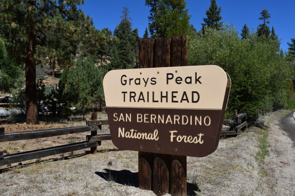
Hanna Flats to Grout Bay Loop with Gray’s Peak Trail Option: 11 miles (6760 feet elevation gain – 7930 with Gray’s Peak option)
Hanna Flat Campground is a great trail for hiking or biking. It is the longest singletrack in Big Bear. After the first 1/2 mile you will feel like you are in the middle of nowhere and there is nothing but the peace and quiet of the animals and the blissful XC singletrack.
Notes: The loop below is done by parking at the Fawkskin triangle. Then mountain biking 2.2 files up a paved/dirt road to Hanna Flat Campground. Near the Southwest corner of the campsite loop road you will find the Singletrack between two campsites across from the concrete bathroom building.
Mile 2.2 to 4.9 is singletrack that crosses many fire roads. The trail is fairly well marked. Follow other's tracks in dirt.
At mile 4.9 you hit a fire road. Go left 200ft and you will see the Gray's Peak Singletrack optional out and back. (2 miles each way)
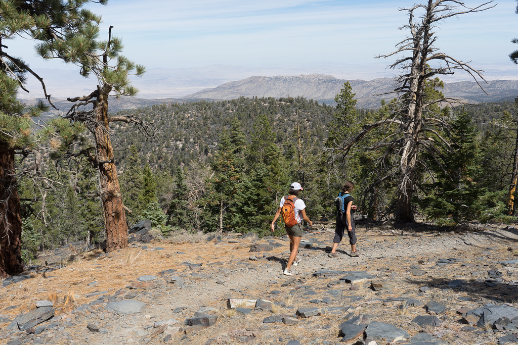
When you see a yellow post and the trail ends, park your bike and climb on the rocks that look over the lake, eat snacks!
To get back to Grout Bay or Fawnskin from Gray's Peak trailhead, go East on fire road, stay left at Y, go left (North) at next junction (singletrack). This takes you to Grout Bay Trailhead. Ride left on Highway to get back to Fawnskin.
Click here for a map to the Hanna Flat trail in Big Bear.
Cabin 89 Trail: 2 miles
Ride the first half of Pine Knot Trail singletrack down from Grandview Point. You can hike 100 feet from Pine Knot to Cabin 89 on a steep hike a bike connector.
Click here for a map to this trail in Big Bear.
Cougar Crest Trail: 4 miles Round Trip (750 feet elevation gain)
The trailhead is located in the designated parking lot 0.6 miles west of the Big Bear Discovery Center on Hwy 38. The Cougar Crest Trail ends at the junction of the Pacific Crest Trail (NO bikes on the PCT).
Click here for a map to Cougar Crest Trail
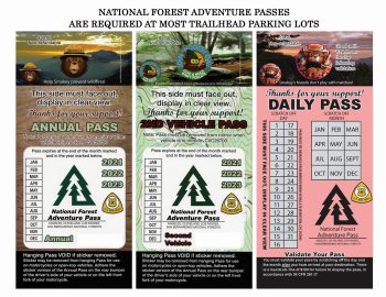
Most trailheads, recreation areas, and parking lots in the Big Bear Valley require an adventure pass. Follow Link above for more info about requirements before planning your next Big Bear hiking trail or biking trip.
Street Biking & Mountain Biking in Big Bear Lake
Enjoy a leisurely or challenging bike ride in Big Bear Lake. Whether you stick to the roads and pedal your way through the neighborhoods or around Big Bear, or want to take to the hills and ride through the trees, there is something for everyone and every skill level.
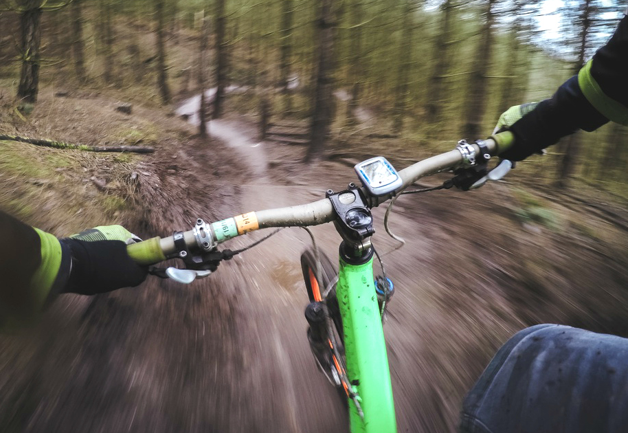
Pine Knot Trail: 3 miles (7688 feet elevation gain)
Pine Knot Trail is the longest singletrack on the South side of the lake. It’s a great MTB downhill but can also be ridden or hiked both ways.
The Pineknot Trail begins at the Aspen Glen Picnic Area off Mill Creek Road and climbs south to Grand View Point.
You can get to the top by:
Taking Snow Summit chairlift > 2N10 West > Grandview Point
Ride up 2N08 from Knickerbocker
Ride up Mill Creek Road > 2N10 > 2N17 > 2N08
Ride up the trail itself
Click here for a map to the Pine Knot Trail in Big Bear
Snow Summit Downhill Bike Park: All skill levels
Every year when the snow melts and spring makes its way to the mountains, Big Bear Mountain Resort undergoes an incredible transition from world-class ski resort to mountain biking mecca, featuring Southern California's premier lift-served, gravity fed bike park at Snow Summit, with trails and terrain for riders of all ages and ability levels.
Contact the resort for more information, rates and conditions.
Visit Snow Summit Downhill Bike Park Here
Click here for a map to this trail.
Meadow Park in Big Bear Lake has bike parking and is located near other amenities like Ski Beach and the swim beach. While not specifically a biking trail, Meadow Park can be a convenient starting point for rides in the area, particularily the Alpine Pedal Path, which offers scenic views along the north shore.
For information on all kinds of bike accessories visit Bear Valley Bikes
Don't forget to check out Hiking in Big Bear!
Outdoor Activities in Big Bear
Find a Cabin
More Hiking Trails in Big Bear
